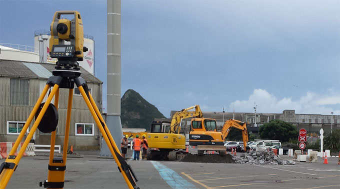
Details of preliminary survey
Preliminary survey means gathering sufficient data to generate plan / map of area that should be utilized for planning and design. Under this type of survey, a brief investigation is made of a route that is experimentally chosen based on the reconnaissance survey information and recommendations. It drives a traverse along an intended route, sets up levels, records topography, and plots results. It also ascertains the final location from this plot or initial map.
Personnel: The survey effort sets up a traverse with control and reference points, or it may be extended to take into account leveling and topographic detail. Generally, after acquiring the traverse, leveling, and topographic data become individual survey efforts, but it does not obstruct merging them to utilize the personnel and equipment efficiently.
Traverse Party: The traverse party sets up the traverse line along the suggested route by setting and referencing control points, measuring distances, numbering stations, and setting up points of intersection.
Based on the following factors, the deep foundations are developed.
The party also creates the required ties to a subsisting control, if accessible or necessary. When, there is no control, the party may allot a starting value for control purposes which in due course can be connected with a control point settled by geodetic surveyors.
Level Party: The level party sets up benchmarks and ascertains the elevation of chosen points along the route to keep control for future surveys, like the creation of a topographic map or profile and cross-section leveling. The level party captures the readings of rod and records elevations to the closest 0.01 foot or 0.001 meter.
It establishes the benchmarks in a place that is beyond the reach of the area of construction and labels them properly to keep them in place during the entire project. If no settled vertical control point exists, set up a random elevation that may be connected with a vertical control point in due course. An assigned value for a random elevation should be adequately bigger so that no negative elevations occur at any point on the project.
Topographic Party: The topographic party procures ample relief and planimetric detail inside the assigned area to trace any hindrances and facilitate creation of rough profiles and cross sections. The final location is set based on the calculations produced from the data. The instruments and personnel combinations utilized differ with survey purpose, terrain, and accessible time. A transitstadia party, plane table party, or combination of both should be utilized.
Transit Stadia Party: The transitstadia party is suitable for open country where relatively long, clear sights are achieved devoid of too much brush cutting.
Plane Table Party: The plane table party is effective for uneven terrain. For short route surveys, the method has the similarity with transitstadia method, exclusive of the fieldwork and the drawing of the map is accomplished all at once.


